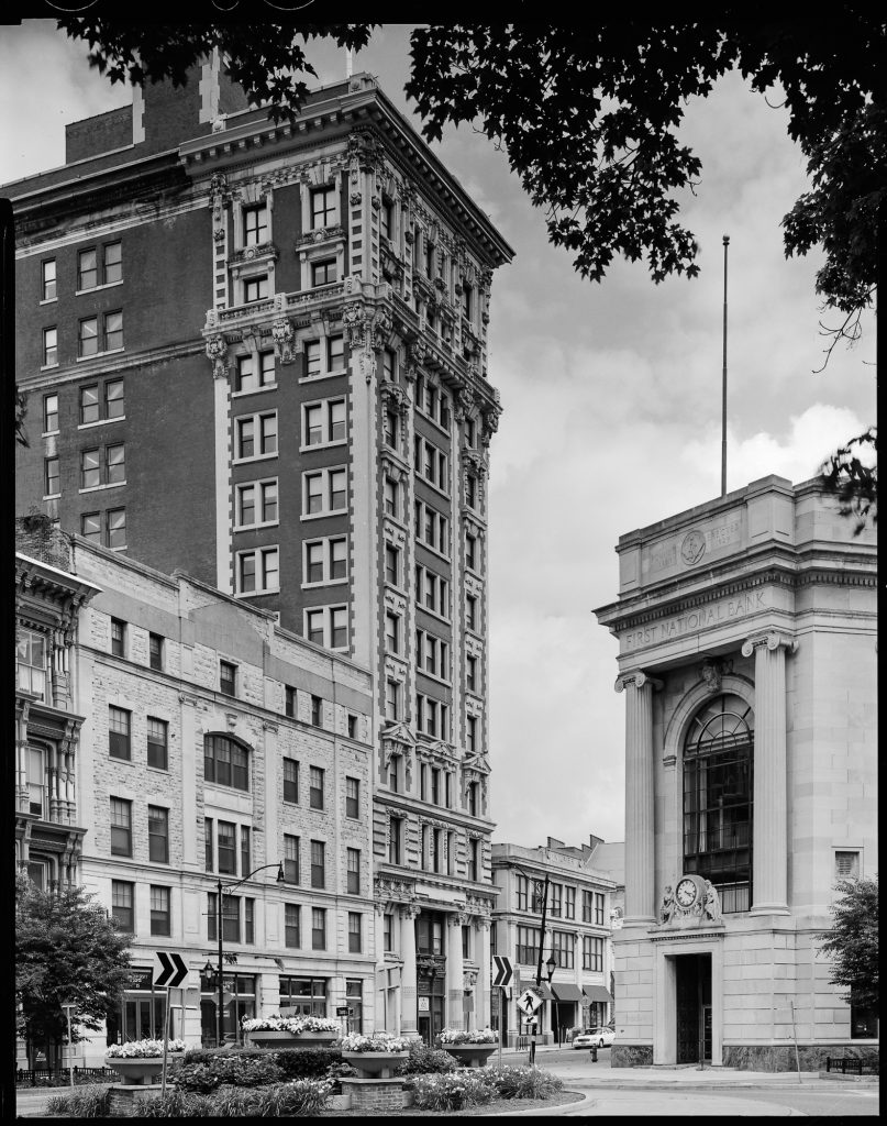
Beginning in the summer of 2018, I collaborated with my colleague, Sam Gruber, on the preparation of a National Register of Historic Places nomination for downtown Binghamton, NY. This has been a complicated project, as our client, the City of Binghamton’s Planning Department, asked that we consolidate three existing small historic districts, each created more than 30 years ago, into a single one, and expand the new district both spatially and temporally. The most fascinating part of the project for me was that we would include the history of the City in the Urban Renewal era, extending the period of significance to 1975.
The City of Binghamton has a remarkable legacy from this era, an era which most of us involved in historic preservation have disparaged for its wanton destruction of historic urban fabric throughout the country. In some cities, however, this widespread demolition was accompanied by extensive new construction. While the City of Binghamton did not deliver on all of its promises for new construction, its record of buildings is impressive.
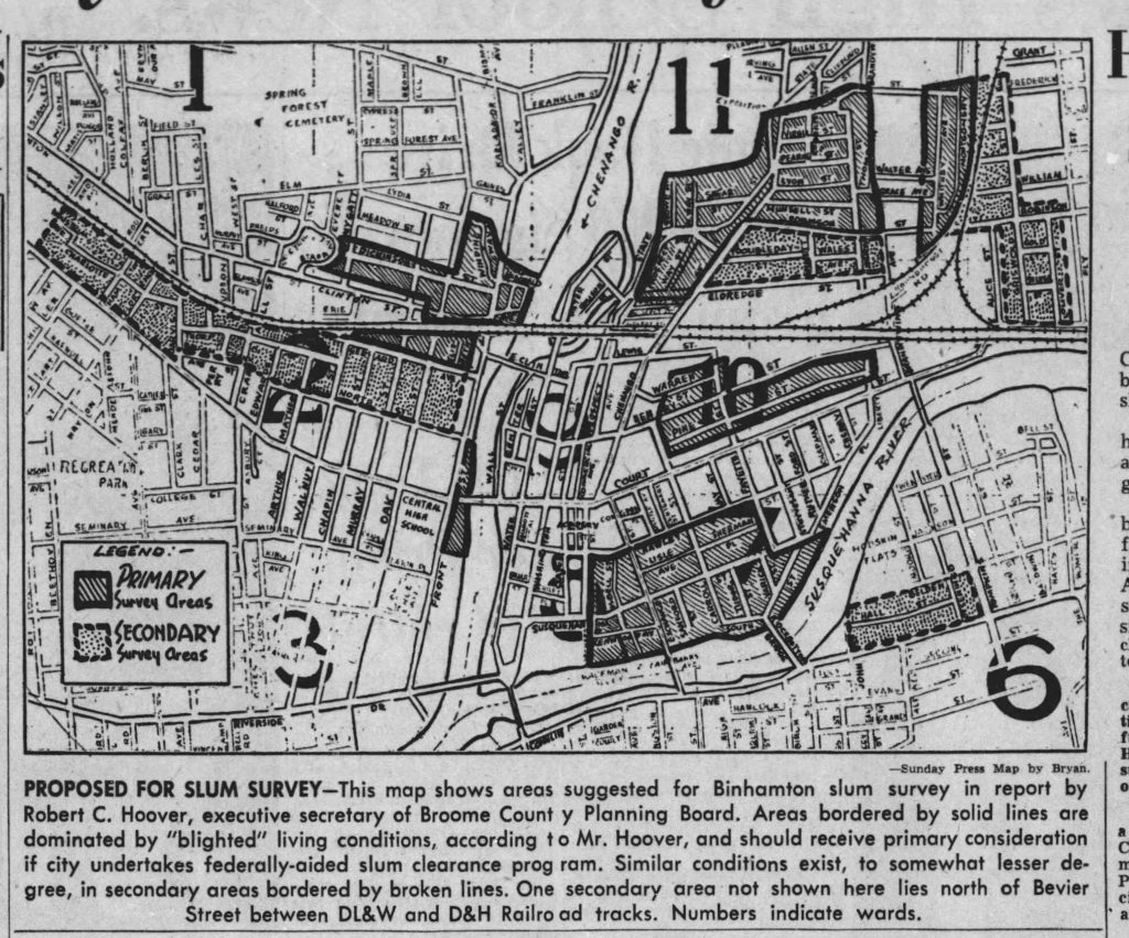
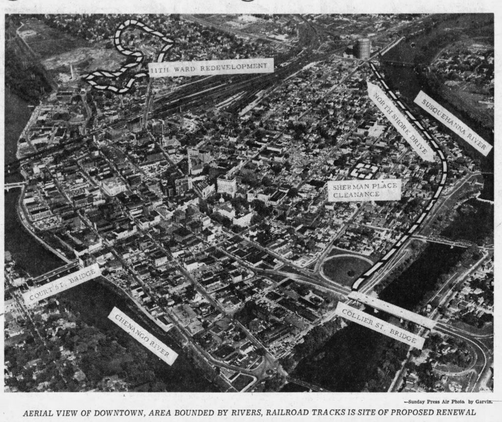
Over the next several posts here, I will take a closer look at Binghamton’s Urban Renewal legacy, reviewing the planning process as well as some of the key architectural landmarks that resulted in the late 1960s and early 1970s. For now, in order to set the context, here are two images from the 1950s, before Urban Renewal kicked in. The first is the proposed “slum clearance” map, which was published in the Binghamton Press and Sun Bulletin on March 30, 1952. The second is an aerial view of the downtown core showing proposed work areas, which was also published in the Binghamton Press and Sun Bulletin on May 18, 1958.

